10 HIGHROCK LN
Owner Information
VELEZ,MALKI + MARINELLI-VELEZ,IVY
10 HIGHROCK LN
WORCESTER, MA 01609


Property Details
10 HIGHROCK LN is classified as a Single Family Residential (Colonial).
The primary structure on this property was built in 2002. There are 3,275ft2 of built area within this property. There is 1,848ft2 of residential/living space within this property. This property is listed as having 7 rooms.
10 HIGHROCK LN is valued at $371,100. The land is valued at $67,100 and the structures are valued at $298,500. There is an additional valuation of $5,500 on this property.
This property is in Zone RS-7. Confirm with local Zoning Board authorities to ensure there are no overlays or other easements on this property.
The most recent deed for 10 HIGHROCK LN is recorded at the local registrar in Book 63796, Page 22. 10 HIGHROCK LN was last sold on Friday, November 20, 2020 for $419,500.
Assessment data from fiscal year 2021.
Flood Data
According to the FEMA National Flood Hazard Layer, this property does not appear to be in a flood zone. It may also be in an area not yet reviewed. Nonetheless, confirm this information prior to taking any action.
To view the flood hazards around this property, create a FEMA "Firmette" Map of the area around 10 HIGHROCK LN.
Broadband Internet Providers
| Provider | Type | Bandwidth (mbps) | |
|---|---|---|---|
| GCI Communication Corp. | Satellite | 0 | 0 |
| HughesNet | Satellite | 25 | 3 |
| Verizon New England Inc. | DSL | 5 | 0 |
| Charter Communications Inc | Cable | 940 | 35 |
| T-Mobile | Fixed Wireless | 25 | 3 |
| Viasat Inc | Satellite | 100 | 3 |
| VSAT Systems, LLC. | Satellite | 2 | 1 |
Broadband service provider data from December 2020.
Adjacent Properties
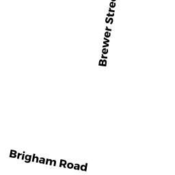
- 123 BRIGHAM RD
Single Family Residential owned by GARZA,JENNIFER LYNN - 9 HIGHROCK LN
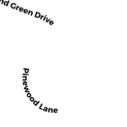
Single Family Residential owned by MARIANO,JOHN - 00 MORELAND GREEN DR
P/HOS CHAR MDL-00 (SHOULD BE 905V) owned by GREATER WORCESTER LAND TRUST INC - 8 HIGHROCK LN
Single Family Residential owned by BISHWOKARMA,RAJAN + RAHEAL R